
Understanding flooding in Brisbane

Link copied

Learn about flood risk in Brisbane, how to prepare for flooding and how Council manages its impacts.

Understanding flood risk

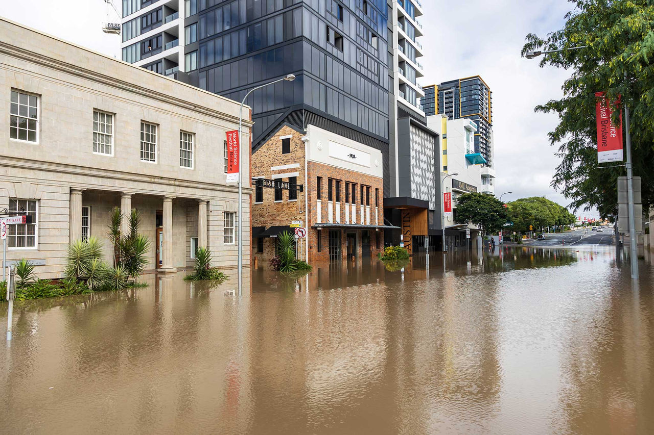
Brisbane’s location on a floodplain, along with its subtropical climate and natural landscape mean that residents and property owners may experience flooding in their lifetime.

Flooding is a natural process shaped by our local geography and climate. But flooding in Brisbane is complex — it can happen in different ways depending on how weather patterns interact with the landscape.

Although Council has a long history of managing and reducing flood risks, preventing all flooding is not possible. The focus has shifted to planning, building resilience, and raising awareness to manage the impacts of flooding.

To learn more about the flood risk for your property, search your address in Council’s Flood Awareness Map and download your FloodWise Property Report.

Types of flooding in Brisbane

Brisbane can experience 4 common types of flooding:

  • river flooding
  • creek flooding
  • overland flow flooding
  • storm tide flooding.

Each flood type behaves differently and can impact properties in different ways.

Learn more about the different flood types.

Prepare for flooding

Understand your flood risk, create a plan and find practical steps to prepare your property and household for flooding.

Council has a range of free tools and information that can help you understand potential flood likelihood and how to be prepared.

Person standing up on a ladder getting leaves and branches out of roof guttering.

Flood warnings and emergency information

View current warnings, incidents, road closures and emergency information during severe weather and flooding events.

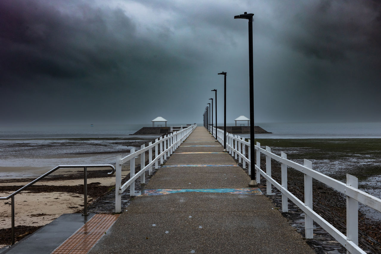
Ominous, dark-coloured storm clouds rolling in above Wynnum Jetty, Wynnum.

How Council manages flood risk

Council uses a combination of approaches to manage flood risk and help make Brisbane more flood-resilient:

  • flood awareness and information gives the community information to understand risk, prepare and build resilience.
  • flood-resilient buildings, assets and infrastructure help reduce the potential impacts of flooding.
  • land-use planning and development controls guide development in flood-prone areas.
  • emergency management supports preparation, response and recovery.

Council continually reviews, assesses and prioritises flood mitigation opportunities across the city. Structural flood mitigation measures in Brisbane include:

  • dams
  • backflow devices
  • levees
  • stormwater drainage.

All flood mitigation works across the city are subject to assessment of benefits, costs, practical feasibility and prioritisation against other opportunities. Even with structural mitigation measures, flood risk is not always able to be eliminated.

To make Brisbane safer and more flood-resilient, we use a combination of approaches including flood awareness and information, infrastructure, land use planning and emergency management.

Infrastructure solutions are considered alongside a range of approaches to manage flood risk including land-use planning, community awareness, and flood warnings.

Learn more about Council’s approach in Brisbane’s FloodSmart Future Strategy 2012-2031.

Working with the community

Council works year-round to ensure residents have the capability to prepare, plan, respond and recover from natural hazards. We continue to partner with key agencies, in particular emergency services, to deliver effective emergency and disaster management across the city.

After a disaster, we work with emergency services, businesses and communities to get the city back on its feet by:

  • cleaning up and clearing debris
  • rebuilding damaged public buildings and infrastructure
  • restoring local habitat
  • supporting the wellbeing of people affected
  • getting the economy back on track.

Flood studies and open data

Council undertakes flood studies to better understand flood behaviour across Brisbane and support planning, development and disaster preparedness.

Flood studies provide Council with technical data for managing all sources of flood risk from river, creek, storm tide and overland flow. Flood study data is used in Council’s flood information products such as the Flood Awareness Map and FloodWise Property Reports.

Flood studies are undertaken using the best available data and technology and in accordance with Queensland and Australian Government guidelines and policy.

Some flood information, such as flood studies completed prior to 2019, is also available in hard copy and can be viewed in Brisbane Square Library.

Learn about Brisbane's flood history

You can explore historical flood mapping for 3 of Brisbane’s most recent large flood events in 1974, 2011 and 2022.

Flooding glossary and guides

Download our glossary of terms for detailed flood information definitions to better understand flood-related terminology.

Download our guides for more information on how to prepare your home or business for flooding.

Frequently asked questions

Stormwater drainage has a limited capacity to prevent flooding and cannot eliminate flood risk. Stormwater drainage is designed to convey frequent flood events, aiming to balance flooding, amenity and economic feasibility.

When a significant rain event occurs in a short period of time, the capability of a stormwater drainage system may be exceeded which causes flooding.

While stormwater drainage has a limited capacity to prevent flooding and cannot eliminate flood risk, Council continually reviews, assesses and prioritises flood mitigation opportunities across the city.

If you believe there is an issue with stormwater drainage in your area, you can report it to Council for investigation. [HOW?]

Council considers all flood mitigation needs across the city in terms of benefits, costs, practical feasibility and prioritisation against other opportunities.

Resources are directed to the streets and areas most in need of such works, including those that offer the greatest benefit in terms of safety and amenity to the wider community.

A stormwater backflow device may reduce the impact of backflow flooding from the Brisbane River. It does not mean your property is free from flooding. Depending on the location and conditions, flooding can still occur from multiple sources.

Find out more about backflow devices.

Creeks and waterways provide a hydraulic function as part of our city’s drainage system. It is important that this function is maintained, however, waterway capacity is finite, and it is always possible that flooding can still occur.

Council’s program of desilting primarily focuses on control points such as culverts and bridges and is careful about removing vegetation. Clearing waterway vegetation can adversely affect the environmental health of the waterway. Vegetation acts as a filter, preventing the release of silt and nutrients into Brisbane River and stabilises the banks, preventing erosion.

Following the February 2022 flood event, Council undertook extensive inspections of our creeks and waterways citywide. Any issues with the hydraulic functionality of this drainage system including debris, heavy siltation or blockages, are worked through as part of Council’s ongoing maintenance programs.

Flood resilient design helps to reduce damage to homes and enable residents to return to their homes quickly after a flood event.

Compared to infrastructure and data solutions, flood resilient building programs have the benefit of lower costs of implementation.

Learn more about flood-resilient building measures. The Queensland Reconstruction Authority also provides Flood Resilient Building Guidance for Queensland Homes.

Council does not currently have a formal scheme to purchase high flood risk properties.

Council rezones acquired flood-affected land as open space.

While Council continues to investigate turning suitable sites into public parks, we are ensuring all land use remains flood-safe, and consistent with open space zoning. Minor improvements (e.g., landscaping, amenities) through Council's Suburban Enhancement Fund may be delivered where appropriate and compliant.

Pending future planning and funding, Council will assess and prioritise sites for park upgrades. Community interests, budget alignment, and stakeholder priorities will guide any future opportunities.

This approach ensures that previously flood-affected land is used in a way that reduces risk, enhances public amenity, and supports long-term resilience.

DRAFT: Page in development